

3D Site Plan Rendering File Formats: Which Do You Need?
The standard 3D site plan rendering file formats are high-resolution JPG and PNG for web and presentations, print-ready PDF and

The standard 3D site plan rendering file formats are high-resolution JPG and PNG for web and presentations, print-ready PDF and
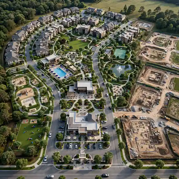
3D site plan rendering for real estate marketing is the practice of converting a project’s civil engineering and landscape layout

Site plan renderings look unrealistic when studios skip accurate sun-path data, use mismatched vegetation scale, or apply flat, uncalibrated lighting

The most common mistakes in 3D site plan rendering briefs are incomplete survey data, undefined scope, and missing style references,
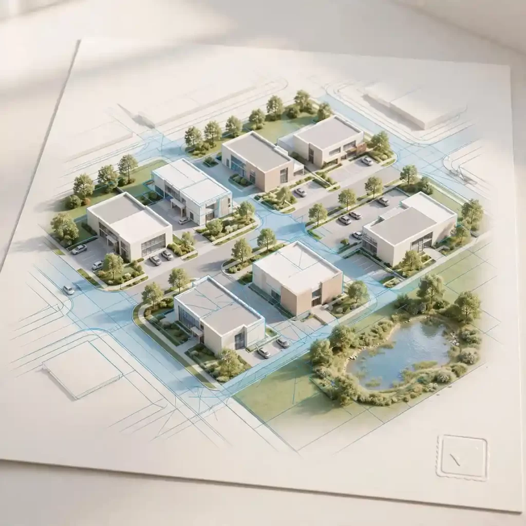
In the hand-drawn vs 3D site plan rendering debate, most planning commissions in 2026 still legally accept hand-drawn submissions if
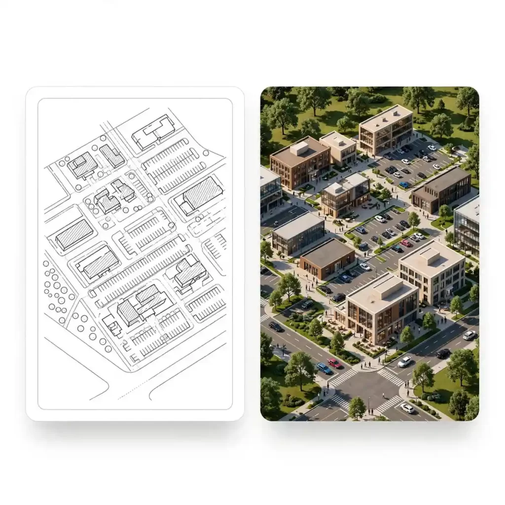
The average 3D site plan rendering cost ranges from $800 to $6,500 per scene, depending on lot size, structure count,
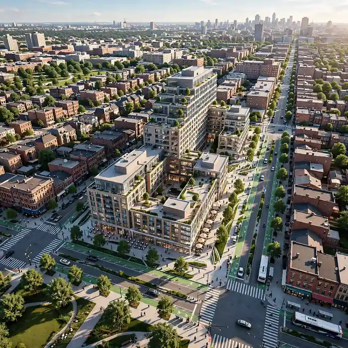
Urban site plan rendering for city planning operates as a translation layer between technical planning documents and public comprehension: by
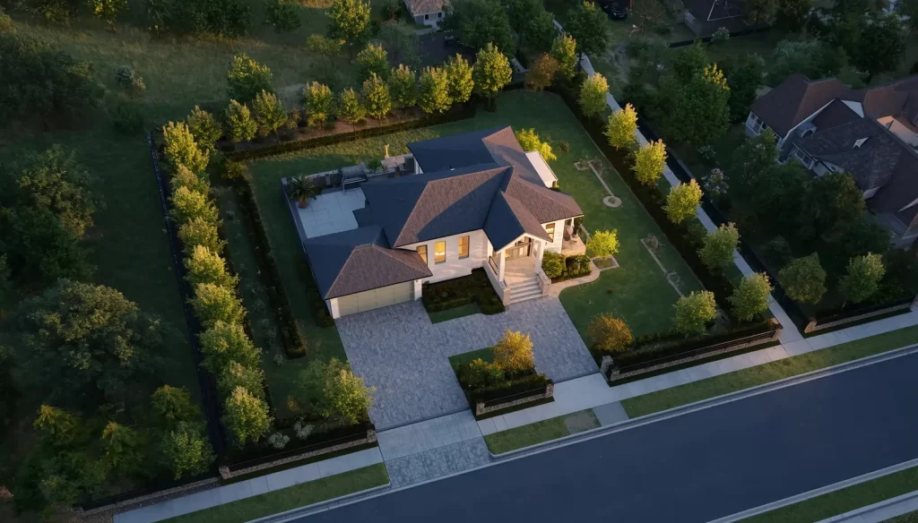
Commercial real estate site plan rendering functions as risk-reduction infrastructure within the capital-raising process: by converting entitlement documents, civil engineering
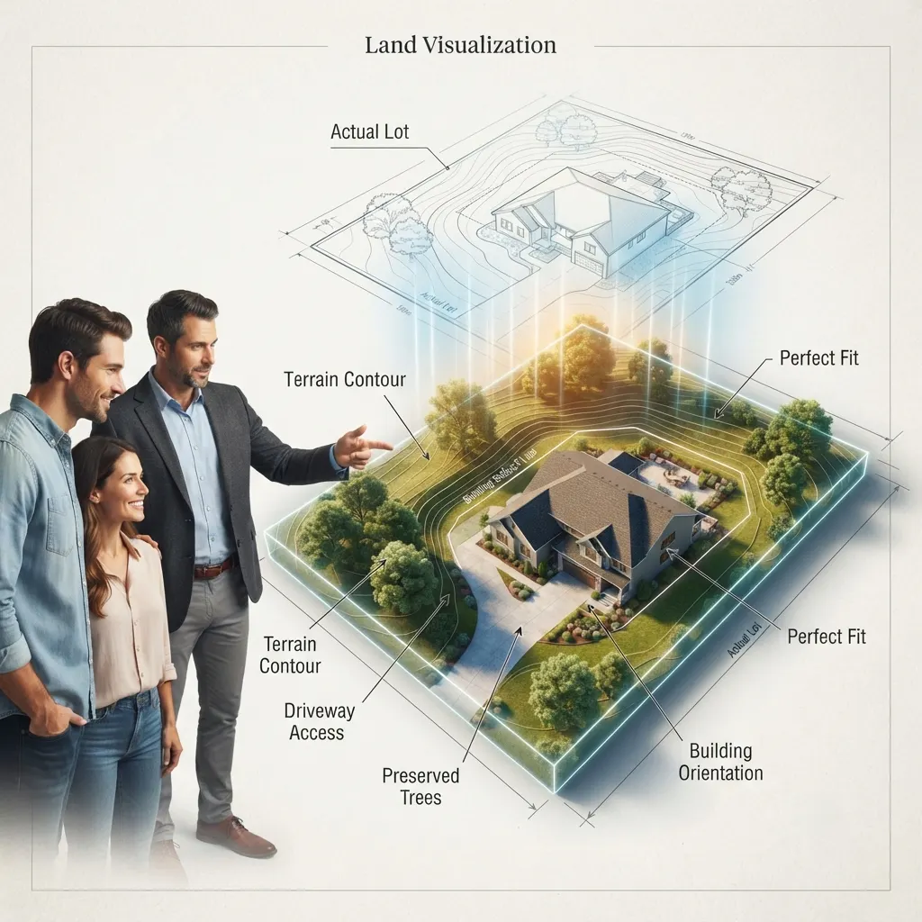
3D site plan rendering for custom home builders functions as a pre-construction sales and differentiation tool: by converting georeferenced CAD
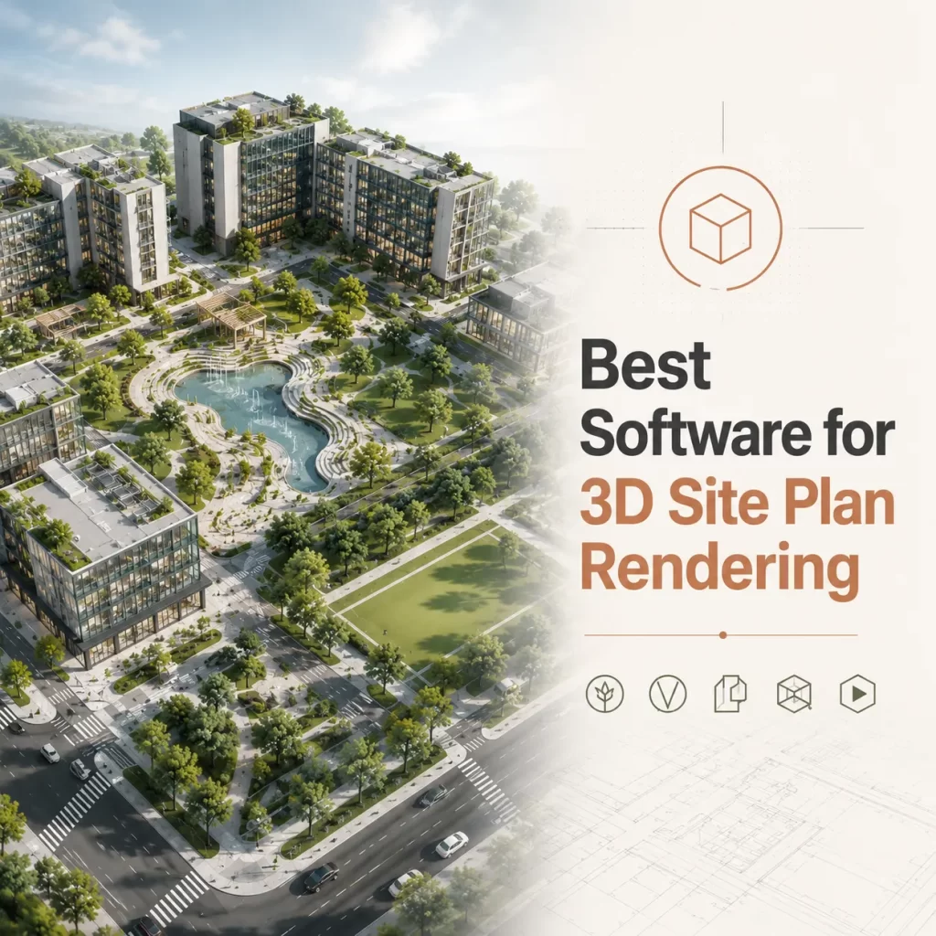
The best software for 3D site plan rendering depends on project complexity and output requirements: Autodesk 3ds Max paired with