
In the hand-drawn vs 3D site plan rendering debate, most planning commissions in 2026 still legally accept hand-drawn submissions if they meet scale and annotation standards, but they overwhelmingly recommend or require digitally rendered site plans for anything beyond a minor residential permit. Municipal review boards increasingly reject hand-drawn plans for commercial, multi-unit, and variance applications because they lack the precision, layered data, and visual clarity that automated GIS cross-checks and public hearings now demand.
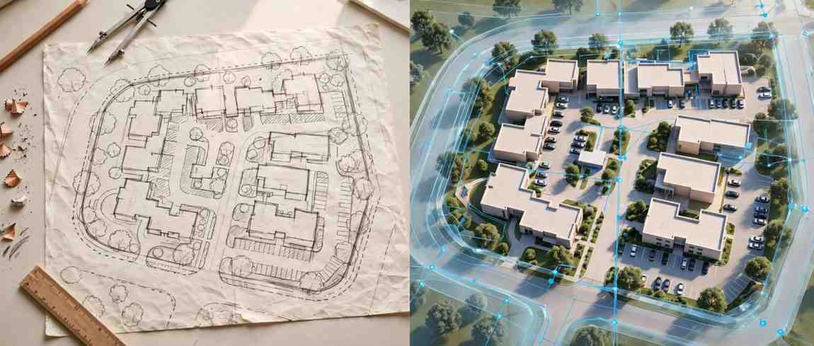
If you have ever sat in a planning commission hearing and watched a beautifully hand-inked site plan get sent back for “insufficient clarity,” you already know the frustration. Developers, architects, and custom home builders are asking the same question across the country: does my jurisdiction still accept hand-drawn submissions, or is it time to invest in a rendered format? This guide walks through exactly what commissions expect in 2026, where hand-drawn plans still hold up, and why so many project teams are shifting toward a 3D Site Plan Rendering Company to avoid costly resubmissions.
We built this guide using real planning department checklists, submission portals, and firsthand feedback from architects who submit dozens of site plans a year. Consequently, you are getting practical, field-tested guidance rather than generic SEO filler.
What is a Site Plan, and Why Does Format Matter?
A site plan is a scaled, top-down technical drawing showing how a proposed structure sits on its lot, along with setbacks, utilities, drainage, parking, landscaping, and access points. Planning commissions use it to verify zoning compliance before issuing permits.
Format matters because commissions are not just checking whether the information exists; they are checking whether staff, commissioners, and the public can read it accurately during a time-limited hearing. A plan that requires interpretation slows down the process for everyone.

Quick Answer: Hand-Drawn vs. 3D Rendered Site Plans
- Hand-drawn plans: Still legal in many jurisdictions for simple residential permits (sheds, fences, small additions), provided they are drawn to scale with a straightedge and include required annotations.
- 3D rendered site plans: Increasingly required or strongly preferred for commercial developments, subdivisions, multi-family housing, and any project needing a public hearing or variance.
- The trend: More counties are digitizing submission portals entirely, which functionally phases out hand-drawn formats even where they remain “technically” permitted.
Why Planning Commissions Are Moving Away From Hand-Drawn Plans
Municipal planning departments have shifted dramatically since digital submission portals became standard. Several forces are driving this change.
1. GIS Integration Requirements

Most counties now overlay submitted site plans onto their Geographic Information System (GIS) to check flood zones, easements, and neighboring parcels automatically. Hand-drawn plans cannot be layered digitally without being redrawn or scanned and manually georeferenced, which creates delays and room for error.
This shift accelerated as county assessor offices, utility providers, and environmental agencies moved their own records onto shared GIS platforms. When a planning department can drop a submitted parcel boundary directly onto a live flood-zone layer, it eliminates an entire round of manual cross-referencing that used to take staff hours to complete by hand. A hand-drawn plan, by contrast, has to be interpreted, measured, and re-entered into the system before that same check can happen, which is exactly the kind of bottleneck departments are trying to eliminate as submission volumes grow.
For applicants, this means a rendered site plan is not just a presentation upgrade; it is functionally compatible with the backend systems that determine whether a project clears review on the first pass. Jurisdictions that have invested in GIS-linked portals increasingly treat non-digital submissions as incomplete, even if the drawing itself is technically accurate.
2. Public Hearing Transparency

When a project goes to a public hearing, commissioners need to explain the proposal to residents who have never seen a technical drawing before. A rendered site plan, especially one with a 3D site plan rendering vs hand-drawn comparison built into the presentation, communicates instantly. Hand-drawn plans often require a staff member to “translate” the drawing verbally, which can introduce inconsistency.
Public hearings are also recorded and archived in most jurisdictions, and commissioners are increasingly conscious of how a project reads to residents watching remotely or reviewing minutes later. A rendered plan projected onto a screen photographs and screenshots well, while a hand-drawn sheet often loses legibility once it is scanned, projected, or shrunk into a meeting packet PDF. That difference matters more than it might seem, since a confused resident is far more likely to raise objections or request a continuance simply because they could not follow the drawing.
3. Liability and Precision

Hand-drawn plans are more prone to measurement drift, since a single misaligned ruler mark can shift a setback by several feet. Digitally rendered plans generated from CAD or BIM source files carry dimensional accuracy that holds up under scrutiny if a dispute arises later.
This precision gap becomes especially important in disputes over boundary lines, easements, or setback violations that surface years after a project is built. When a rendered site plan is generated from source survey data, the dimensional record stays traceable and defensible. A hand-drawn plan, once filed, offers little more than the drawing itself, with no underlying data trail to fall back on if a neighbor or code enforcement officer later questions the accuracy of a measurement.
4. Faster Staff Review Cycles

Planning staff process dozens of submissions weekly. According to guidance published by the American Planning Association, efficient review workflows depend heavily on standardized, legible documentation that reduces back-and-forth clarification requests. A rendered plan with clean layers and callouts moves through review faster than a hand-annotated sheet.
Standardization also helps departments manage staffing constraints. Many county planning offices operate with a fraction of the reviewers they had a decade ago, even as submission volume has climbed. A format that lets a reviewer confirm compliance in minutes, rather than needing to decode handwriting or estimate scale by eye, directly affects how quickly an applicant’s permit clears the queue. Some departments have started tracking average review time by submission format internally, and rendered plans consistently outperform hand-drawn ones on that metric.
5. Consistency Across Multi-Sheet Submissions

Most non-trivial projects require several coordinated sheets: the site plan, grading plan, landscape plan, and elevations, all of which need to align on scale and orientation. Hand-drawing each sheet independently increases the risk that small inconsistencies creep in between them, which reviewers are trained to catch. A rendered set generated from a shared digital model keeps every sheet locked to the same coordinates and scale automatically, removing this entire category of error before submission.
Where Hand-Drawn Site Plans Still Work
Hand-drawn plans have not disappeared entirely, and it would be inaccurate to claim otherwise. They still function well in specific, limited circumstances.
Minor residential permits
Fences, small sheds, and single-story additions under a certain square footage in many rural or small-town jurisdictions.
Preliminary sketches
Some architects submit a hand-drawn concept during pre-application meetings before committing to full documentation.
Jurisdictions without digital portals
A shrinking number of rural counties still accept paper submissions by mail or in person.
Owner-builder projects
Homeowners doing simple DIY additions sometimes hand-draw plans that meet minimum scale requirements.
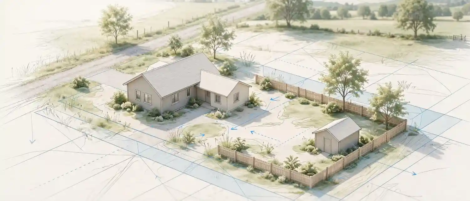
That said, even in these cases, staff frequently ask applicants to redraw or trace the plan onto a standard template if the original submission is difficult to read. Therefore, hand-drawn is rarely the fastest path, even where it is technically allowed.
It is worth noting that “accepted” and “recommended” are not the same thing. A jurisdiction’s code may list hand-drawn submissions as technically compliant, while its planning staff privately steer applicants toward digital formats because they know it will move faster through review. Applicants who call ahead often hear some version of “we’ll take it, but it will probably come back with comments,” which is a strong signal to invest in a rendered plan even when it is not strictly mandatory.
Additionally, some jurisdictions apply a size or valuation threshold rather than a project-type threshold. A hand-drawn plan might be fine for a permit valued under a certain dollar amount, regardless of whether it is residential or a small commercial tenant improvement. It is always worth confirming the specific threshold your county uses rather than assuming based on project category alone.
Where 3D Rendered Site Plans Are Now Required or Strongly Preferred
The following project types consistently require or functionally demand rendered site plans in most U.S. and Canadian jurisdictions today.
Commercial developments
Retail centers, office buildings, mixed-use projects.
Multi-family and subdivision projects
Anything requiring infrastructure review (drainage, utility tie-ins, road access).
Variance and rezoning applications
Public hearings demand visual clarity for commissioners and residents alike.
Projects near environmentally sensitive areas
Wetlands, floodplains, and coastal zones often require GIS-compatible digital files.
Historic district applications
Design review boards frequently want photorealistic context to judge how a new structure fits the streetscape.
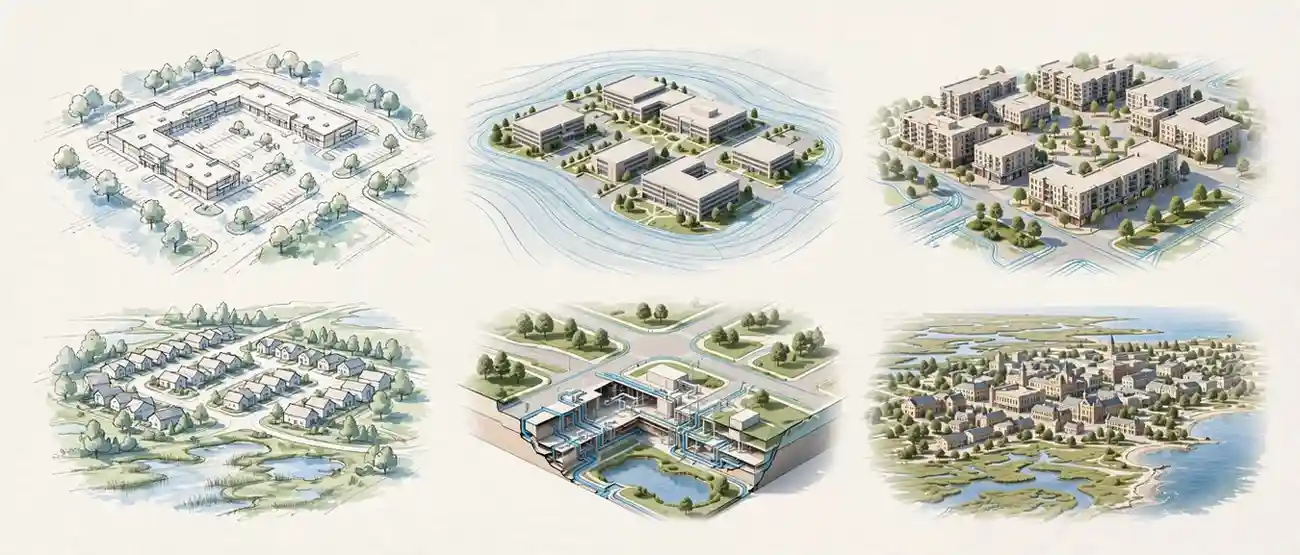
If you are unsure whether your submission needs a 3D site plan rendering at all, it helps to review what the format actually includes before committing budget to it.
Beyond the five categories above, a growing number of jurisdictions have added rendered-plan requirements for accessory dwelling unit (ADU) clusters, short-term rental conversions, and solar or battery-storage installations that affect setbacks or fire access. These project types did not always require formal site plans a decade ago, but as local codes have expanded to regulate them more closely, the documentation standard has risen alongside the regulation itself. If your project falls into one of these newer categories, do not assume the older, simpler submission standard still applies; confirm directly with the department handling that specific permit type, since these rules change frequently as codes catch up to newer building trends.
Regional Variation: Why Requirements Differ So Much by County
One of the most common frustrations applicants raise is that the same project type can require a rendered plan in one county and accept a hand-drawn sketch in the next county over. This inconsistency comes down to a few structural factors.
Budget and staffing levels
Larger, better-funded planning departments tend to have invested in GIS infrastructure earlier, which pushes them toward digital-only requirements sooner than smaller rural counties.
Growth pressure
Fast-growing counties dealing with high submission volume adopt stricter digital standards to manage throughput, while slower-growth areas have less incentive to modernize.
State-level mandates
A handful of states have begun requiring digital plan review statewide, which forces even small counties to adopt compatible formats regardless of local preference.
Legacy code language
Some municipal codes were written decades ago and technically still reference “drawings” without specifying digital or hand-drawn, leaving the decision to staff discretion.

Because of this variation, national or multi-state developers often find it more efficient to default to rendered site plans across every jurisdiction rather than tracking format requirements county by county. It removes the guesswork and ensures a consistent submission package regardless of where a project is located.
3D Site Plan Rendering vs Hand-Drawn: Side-by-Side Comparison
| Criteria | Hand-Drawn Site Plan | 3D Rendered Site Plan |
|---|---|---|
| Scale accuracy | Manual, prone to drift | Precise, CAD/BIM-sourced |
| GIS compatibility | Requires manual digitization | Native digital layers |
| Public hearing clarity | Often needs verbal translation | Self-explanatory visuals |
| Revision speed | Redraw by hand | Adjust digital layers |
| Typical acceptance | Minor residential only | Commercial, multi-family, variances |
| Staff review time | Slower, more clarification requests | Faster, standardized format |
| Cost | Low or free (self-drawn) | Moderate, scales with complexity |
| Presentation value | Limited | High, supports investor/board buy-in |
Common Mistakes Applicants Make With Site Plan Submissions
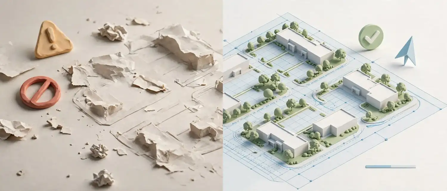
Even experienced developers run into avoidable snags. Here are the mistakes we see most often.
- Submitting a hand-drawn plan for a project type the jurisdiction no longer accepts it for, resulting in an immediate bounce-back. This is by far the most common and most avoidable mistake, and it almost always traces back to skipping the pre-submission call to planning staff.
- Skipping required annotations like north arrows, scale bars, and setback dimensions, regardless of format. Reviewers are trained to check for these specific elements first, and missing even one can trigger an incomplete-submission flag before staff even evaluate the design itself.
- Assuming a scanned hand-drawn plan counts as “digital”, when most portals actually require vector or CAD-native files. A scanned image is still, functionally, a hand-drawn plan as far as GIS compatibility is concerned, even though it technically uploads as a PDF.
- Waiting until the deadline to discover the format requirement, leaving no time to commission a rendered plan. Rendering turnaround typically runs one to three weeks depending on complexity, so discovering a digital requirement a week before a hearing date can force an unwanted continuance.
- Over-rendering a simple project, spending on photorealistic detail that a straightforward residential permit does not need. Matching rendering scope to actual project complexity keeps both cost and turnaround reasonable.
- Failing to align the site plan with accompanying elevation and floor plan sheets, which reviewers frequently cross-check for consistency in scale, orientation, and building footprint.
- Ignoring pre-application meetings entirely, when many jurisdictions offer them specifically to flag format and documentation issues before a formal submission is logged.
Expert Tips for Choosing the Right Format

Call the planning department directly before drawing anything.
Requirements vary significantly even between neighboring counties, and a five-minute call can save weeks.
Check the submission portal’s accepted file types first.
Many now require PDF/CAD hybrid files rather than scanned images.
Match rendering detail to project complexity.
A simple accessory dwelling unit rarely needs the same visual depth as a 200-unit development.
Keep source files organized.
If a commission asks for revisions, having the original CAD or 3D model ready speeds up turnaround dramatically compared to starting from a hand-drawn sheet.
Use consistent scale and orientation across all submitted sheets.
Reviewers flag inconsistencies between the site plan and accompanying elevations quickly.
Step-by-Step: Preparing a Planning-Commission-Ready Site Plan

Step 1: Confirm jurisdiction requirements.
Review the local planning department’s checklist or call ahead.
Step 2: Gather base data.
Collect the survey, utility maps, and zoning overlay for the parcel.
Step 3: Choose your format.
Decide between hand-drawn and rendered based on project type and portal requirements.
Step 4: Build the base layout.
Establish property lines, setbacks, and building footprint to scale.
Step 5: Add required annotations.
North arrow, scale bar, legend, and dimension callouts.
Step 6: Layer in context.
Landscaping, parking, drainage, and adjacent structures where required.
Step 7: Review against the checklist.
Cross-check every required element before submission.
Step 8: Submit and prepare for revisions.
Keep source files accessible in case staff request changes.
What to Send Before Starting a 3D Site Plan Rendering Project
Before committing to a rendered format, it helps to understand what information a rendering team actually needs to produce an accurate, submission-ready plan. Generally, this includes the property survey, zoning setbacks, utility locations, and any architectural elevations already completed. Providing these upfront avoids revision cycles that can otherwise stretch a two-week turnaround into a month.
How Much Does a 3D Site Plan Rendering Cost?
Pricing varies by project scope, level of photorealism, and turnaround time. Simple residential site plans typically cost less than complex commercial or subdivision renderings that require multiple layered views. For a detailed breakdown by project type, see our pricing guide, which outlines what drives cost up or down.
Software Behind Modern Site Plan Renderings

Rendering teams typically rely on a combination of CAD, GIS, and visualization software to produce planning-ready output. If you are curious about the tools professionals use to balance accuracy with visual appeal, our breakdown of the best software for 3D site plan rendering covers the leading options in the industry today.
Who Actually Benefits Most From Rendered Site Plans?
Different project stakeholders lean on rendered site plans for different reasons.
- Custom home builders use them to win more contracts by showing prospective clients a clear visual of the finished lot before construction begins.
- Commercial real estate developers rely on them to secure financing and stakeholder buy-in, since investors respond better to visual clarity than raw technical drawings.
- Urban planners use rendered plans for broader city planning initiatives, where multiple parcels and infrastructure elements need to be visualized together.
FAQ: 3D Site Plan Rendering vs Hand-Drawn Submissions
Do all planning commissions require 3D rendered site plans?
No. Many jurisdictions still accept hand-drawn plans for minor residential permits, but commercial and multi-family projects almost always require or strongly favor rendered formats.
Is a hand-drawn site plan cheaper than a rendered one?
Generally, yes, if you draw it yourself. However, the risk of rejection or resubmission can offset that savings through delayed permits and additional review cycles.
Can I convert a hand-drawn site plan into a digital format later?
Yes, though it typically requires redrawing the plan in CAD rather than simply scanning it, since most portals require vector-based or layered files rather than flat images.
How do I know which format my county requires?
Check your local planning department’s submission checklist or call the office directly, since requirements vary by jurisdiction and project type.
Do rendered site plans help at public hearings?
Yes. Commissioners and residents generally understand rendered visuals faster than technical hand-drawn sheets, which can shorten discussion time and reduce follow-up questions.
How Planning Requirements Have Evolved Over the Past Decade
It helps to understand how we got here. A decade ago, most planning departments still ran largely paper-based processes, with physical counters where applicants dropped off rolled drawings and staff stamped them by hand. Hand-drawn and CAD-drafted plans were treated more or less equally, since neither format integrated with any backend digital system.

The shift began in earnest as counties adopted online permitting portals to reduce foot traffic and processing time, a trend that accelerated sharply during the early 2020s when in-person counter service became impractical for extended periods. Departments that digitized during that period discovered the efficiency gains were substantial enough that they never fully reverted, even after in-person service resumed. Digital submission became the default expectation rather than an optional convenience, and site plan format requirements followed close behind.
Today, the departments still accepting hand-drawn plans broadly fall into two categories: smaller jurisdictions that have not yet had the budget to modernize their intake systems, and departments that have deliberately preserved a simplified path for minor residential work to avoid burdening homeowners with unnecessary rendering costs. Neither category is likely to expand hand-drawn acceptance going forward; if anything, the trend line points toward further consolidation around digital formats as software costs continue to drop and GIS coverage expands into more rural counties.
Weighing Cost Against Risk: A Practical Framework
Cost is often the first objection applicants raise when comparing formats, since a hand-drawn plan can effectively cost nothing beyond time if the applicant draws it themselves. However, cost alone is an incomplete way to evaluate the decision. A more useful framework weighs the upfront cost of a rendered plan against the downstream cost of a rejected or delayed submission.

Consider what a resubmission actually costs in practice:
- Lost time: Most jurisdictions place resubmitted plans back at the end of the review queue, which can add two to six weeks depending on department backlog.
- Carrying costs: Developers financing land or construction loans accrue interest and holding costs during every week a permit is delayed.
- Missed hearing dates: Many commissions only meet monthly, so missing a submission deadline because of a format rejection can push a hearing back an entire cycle.
- Reputational cost: Contractors and developers who repeatedly submit incomplete or rejected plans can develop a reputation with local planning staff that affects how closely future submissions get scrutinized.
When measured against these downstream costs, the moderate upfront investment in a rendered site plan for anything beyond the simplest residential permit tends to pay for itself well before a project reaches groundbreaking.
How to Talk to Your Planning Department Before You Commit to a Format
A short, well-prepared phone call or email to your local planning department can save significant time and money. When you reach out, it helps to ask specific questions rather than a general “what do you require” prompt, since staff can answer targeted questions faster and more accurately.

Useful questions to ask include:
- Does this specific permit type require a digitally rendered or CAD-native site plan, or is a hand-drawn submission still accepted?
- What file formats does your submission portal accept, and is there a maximum file size?
- Are there specific annotations, scale requirements, or a required template sheet for this project type?
- Will this project require a public hearing, and if so, does the commission have a preference for presentation format?
- Is a pre-application meeting available, and would it help clarify documentation requirements before I commit budget to a rendering?
Documenting the answers, ideally by following up with a confirmation email summarizing what staff told you, creates a useful record if a format question comes up again later in the review process. This record becomes especially valuable on longer projects, where the staff member you originally spoke with may no longer be handling your file by the time you submit, and a written confirmation prevents any disagreement about what was actually communicated.
It is also worth asking whether the department distinguishes between the formal site plan and any supporting exhibits, since some jurisdictions allow a hand-drawn conceptual exhibit alongside a fully rendered formal site plan. Clarifying this upfront can occasionally let applicants save on rendering cost for supplementary materials while still meeting the core requirement for the primary submission sheet.
Key Takeaway in a Brief Overview
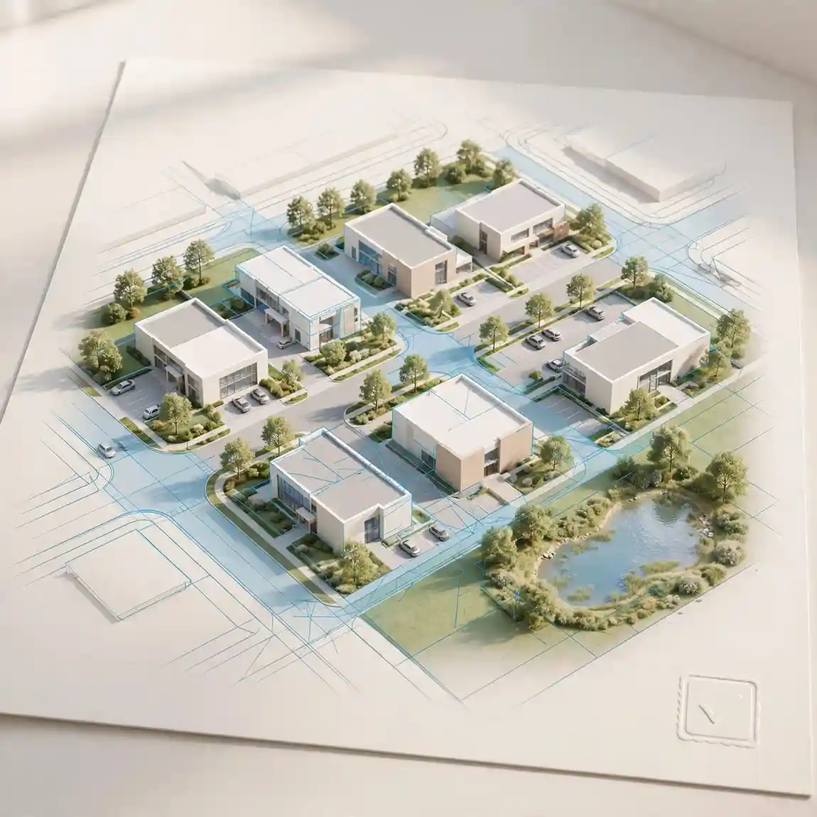
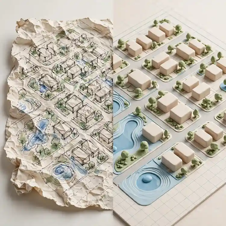
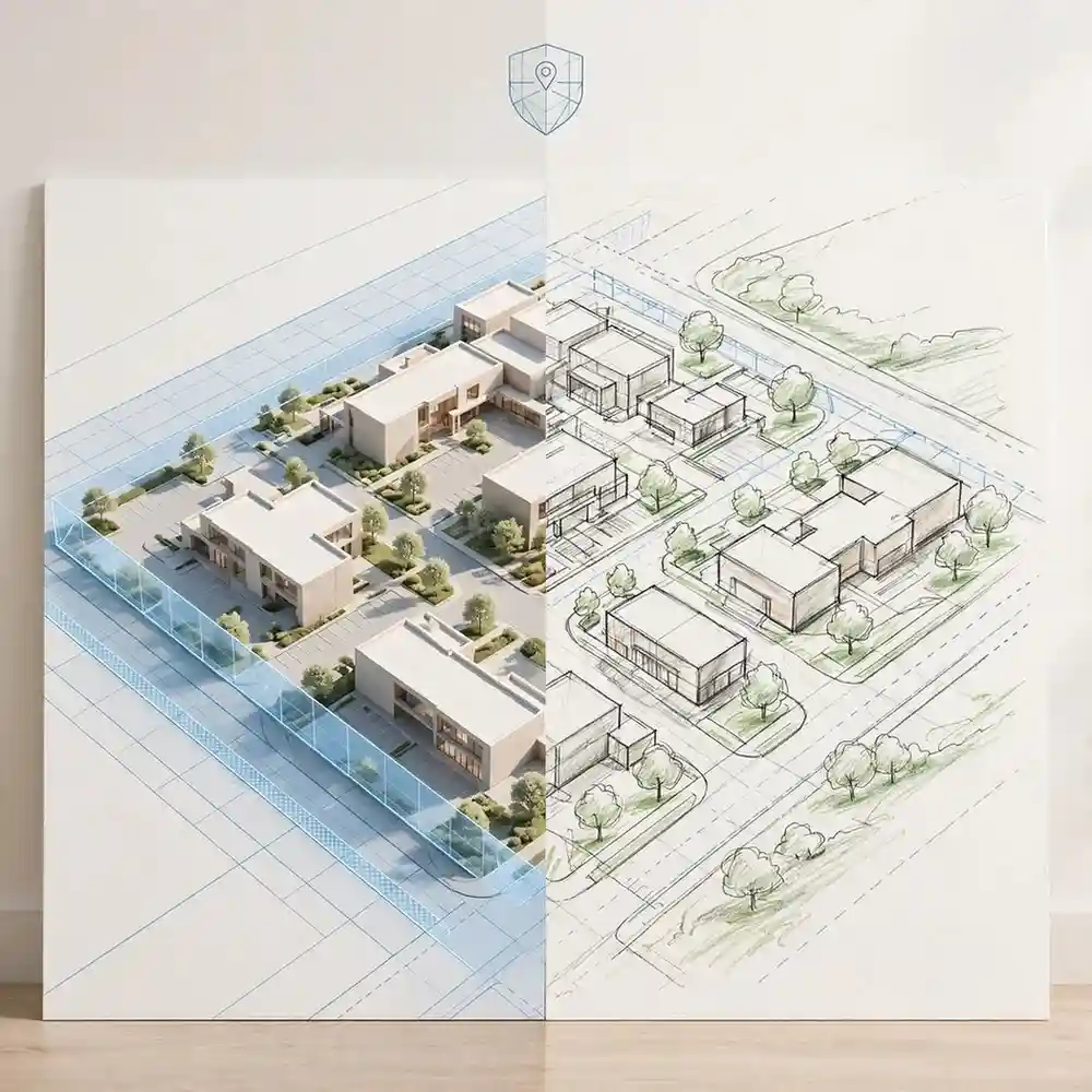
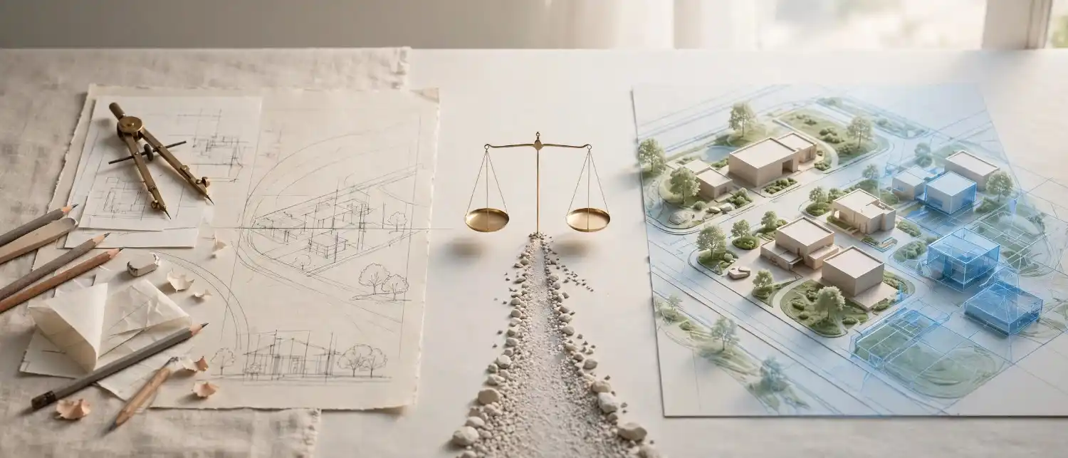
The hand-drawn vs 3D site plan rendering decision ultimately comes down to project complexity and jurisdiction requirements. Hand-drawn plans still have a narrow place for simple residential permits, but for anything commercial, multi-family, or hearing-bound, rendered formats have become the practical standard. Planning departments are only going to lean further into digital review as GIS integration expands nationwide.
Pingback: 7 Common Mistakes in 3D Site Plan Rendering Briefs